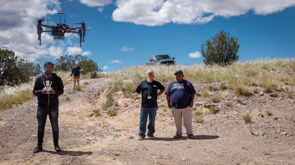
PuebloConnect team members Marisa Elena Duarte (ASU) and Morgan Vigil-Hayes (NAU) publish blog post on PuebloConnect field work in New Mexico in the Global Media Technologies and Cultures Lab (MIT) Network Sovereignty Blog.
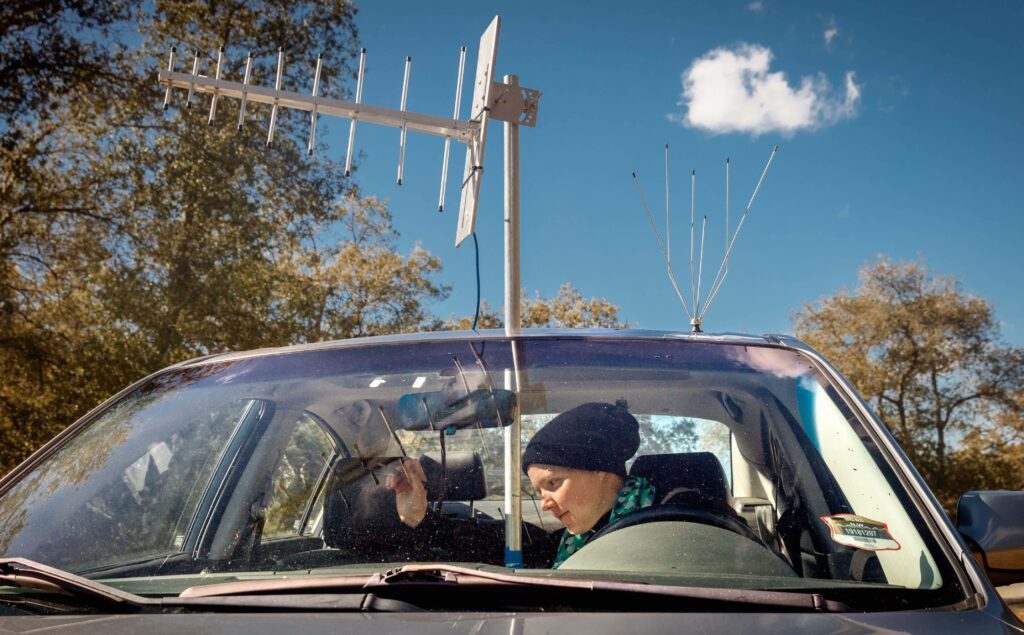
UC Santa Barbara PhD student Esther Showalter measures TV white space channel availability for her dissertation research.
by Ellen Zegura (Georgia Tech) and Elizabeth Belding (UC Santa Barbara)
If you want to communicate without wires, you need to use a specific frequency. A frequency is like a note on a piano – I can play a high note, and you can play a low note, and both can be heard at the same time. But if I play a high note, and you also play the same high note, our notes interfere and blend together. In wireless communication, the sender and the receiver agree on the frequency to use, and provided no one else is using that frequency nearby, communication can take place. We all use wireless communication every day, in our cell phones, our laptops, our remote controls, our wireless headphones, our gaming platforms.
In the United States, the Federal Communication Commission (FCC) manages the assignment of frequencies so that different uses and users don’t collide with e…
By Ivone Masara and Marisa Duarte
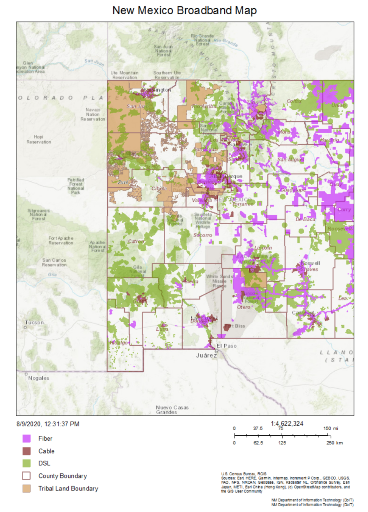
As community-centered tech researchers, we are learning a lot about how geospatial data sets shape the innovation of rural place-based information and communication technologies (ICTs). Especially with Internet-enabled systems, designers can apply up-to-date geospatial data sets to improve performance of place-based technologies, and discern constraints shaping end-user engagement. Through these methods, GIS-enhanced systems can help marginalized communities overcome structural inequities. (Srinivasan, 2019)
Maps can be a tool in the fight for our rights: visualizing geospatial distribution of resources
Maps are integral tools for communities shaping behaviors around place-based infrastructures. In addition to dashboards, graphs and charts, maps depict geospatial distribution of resources. Layered with the right social, economic, and geographical data, maps provide location intelligence to inform businesses, resource management, optimal …